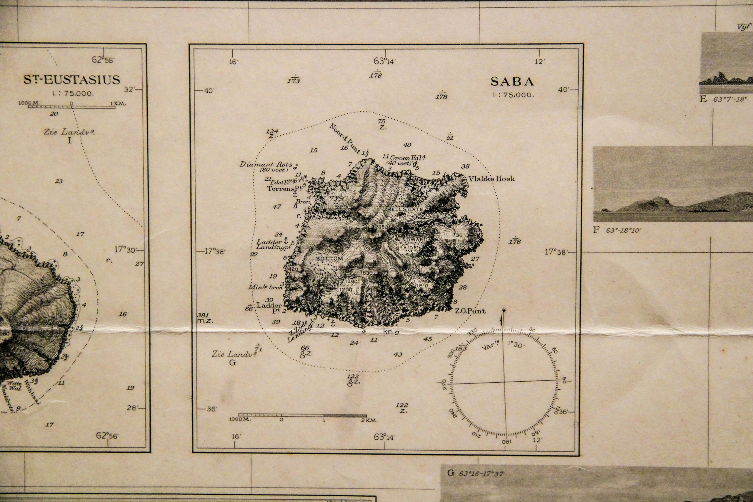
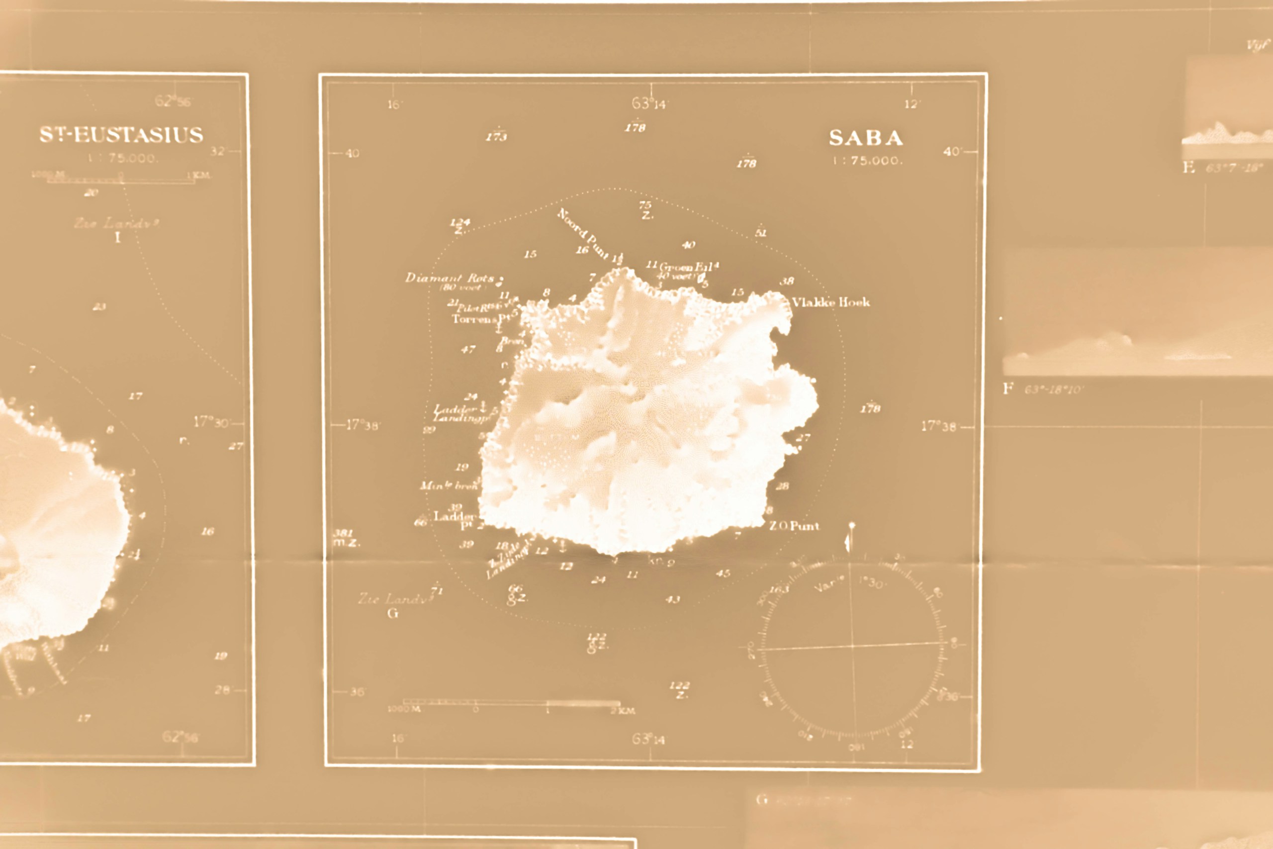
The island was surveyed long before it had a harbor, and the chart shows it as a navigator saw it: soundings, the reef line and the few landing places, with the hills drawn in hachures.
Printed from a high-resolution scan of the original on a heavyweight cotton paper with a natural tone, so the sepia of the plate reads as it does on the original sheet. Choose the size; the print is shipped flat between boards.